
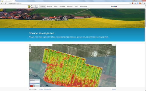
PreAgri is an online service for spatial data collection and analysis of agricultural enterprises. Online analysis of yield, fertilizer, seeding and agrochemical examination. The service allows you to import data, create and update objects online using a Web Editor. Connecting GPS trackers and GPS data import. Display map routes together with video. |
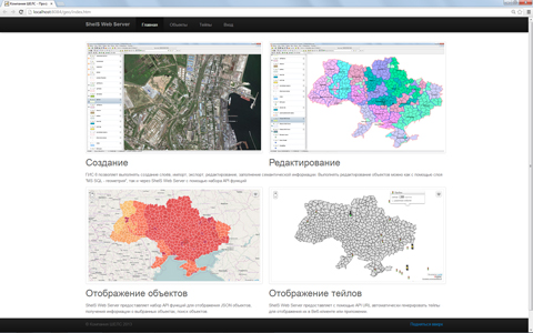
GISFile is a mapping service for creation of interactive maps. The service will expand the range of applications of Geographic Information Systems for a variety of tasks, from the statistical geo-spatial information to build scalable inventory. The uniqueness of the solution is to integrate GIS 6 and MapDraw 2, you can create new layers, change the spatial and semantic information, and translate existing data from other formats. |
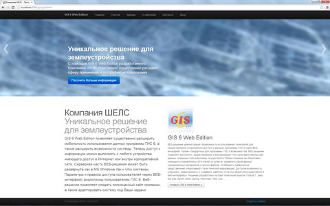
GIS Web Edition 6 can significantly extend the use of these mobility programs GIS 6, as well as capabilities of the system. Now, access to information can be made from any device with access to the Internet or the corporate network. The server part of Web-based solutions can be deployed in both MS Windows and Unix systems. The system allows you to edit, create and print patterns of reporting forms in the Web interface. |

EJRC 2 Web Edition allows you to create of accounts, contracts and akts for the implementation of land cadastral works, base money orders and tasks to perform via Web interface. The solution includes the ability EJRC 2 Manager and Web Manager EJRC 2 allowing access to responsible persons to tasks to perform. A single database format and merge templates MS Word and Open Office in EJRC 2 and EJRC 2 Web Edition. Allows you to create a complete website. |