SEMINAR-TRAINING GEODETIC INFORMATION SYSTEM 6
15 October 2010
venue of Kiev, avenue 40 years of October, 70 (hotel "Mir", conference room № 3)
Invite you to participate in a training seminar Geodetic Information System 6, which was devoted to the formation of the exchange File land cadastral information in the format XML, in According to the Decree of the State Committee of Ukraine for Land Resources № 573 of 02.11.2009 „On the approval of Requirements to the structure, content and format of the results of works with land management in electronic form (exchange file)”, explore the possibilities mapping module MapDraw 2 commercially available program GIS 6, namely the creation and opening of the internal and external layers, connection and coordinating bitmaps, import data from other formats, create and print situational plans, connection to Map Servers GisMapServer and server space Images GoogleMap.
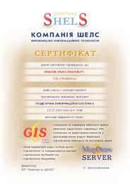
The seminar participants theoretical and practical exercises skills in program GIS 6, as well as the nominal Certificate confirming the acquired knowledge.
ORGANIZATIONAL MATTERS
Date: 15 October 2010.
Event venue: Ukraine, Kiev, avenue 40 years of October, 70 (hotel "Mir" conference room № 3)
Terms: classes focus on hands-on learning work program GIS 6 therefore work more efficiently participants, it is desirable to take seminar-training notebook
The cost of participation: UAH 580 for 1 participant (without VAT)
The price includes: participation in training seminar, training materials, CD with training materials and Certificate
SEMINAR SCHEDULE
09:00-09:30 - arrival participants, registration, accommodation;
09:30-16:30 - holding training workshop with a break;
16:30-17:00 - leaving participants.
SEMINAR MATERIALS
PROGRAM SEMINAR
Part 1. Creating and verifying File exchange land cadastre information in XML format
1. Familiarization with the list of information required to create a file XML
2. Filling information in GIS 6 to create the file XML
3. Checking filled information in the GIS program 6
4. Checking the XML file created using ValidXml
Part 2. Study of the possibilities mapping module "MapDraw 2" in the program of existing GIS 6
1. Familiarization to the basics of mapping module "MapDraw 2"
2. Creating new and opening existing projects
3. Connecting the internal layers of the program GIS 6
4. Connecting external layers in the format Shp
5. Connecting coordinated bitmaps
6. Coordination of bitmaps in the program of
7. Import spatial data from external formats Dxf, Mdb, Wor,
In4, Xml
8. Connection to the map server GisMapServer
9. Connecting to server space images GoogleMap
10. Changing the parameters of the layer and database
11. Creating situational plans
12. Print situational plans
OTHER MATERIALS
System 6 Download the presentation of the program GisMapServer Download program description MapDraw 2 and GisMapServer Download the presentation of the program EJRC 2 Download the description of the EJRC 2 and KVZKR 2 programs Download the presentation of the KVZKR 2 program
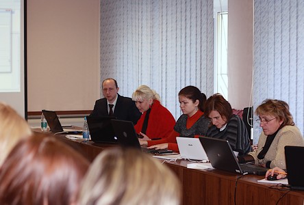
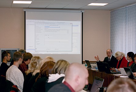
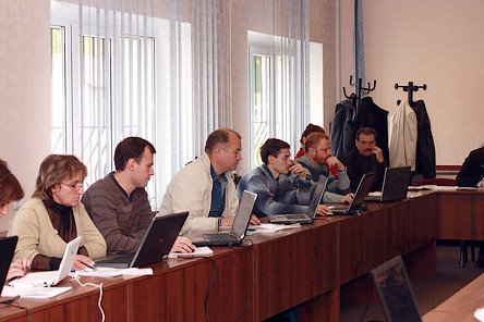
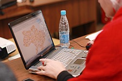
PHOTO MATERIALS OF THE SEMINAR