SEMINAR-TRAINING GEODETIC INFORMATION SYSTEM 6
15-17 may 2017
venue of Kropyvnyckiy, st. Elvorti, 7, rm. 501
(Business-Centre "Elvorti")
15-17 may 2017
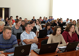
the representatives of 10 areas: Odesa, Mykolayiv, Zaporozhye,
Kharkov, Kiev, Kirovograd, Zhytomyr, Chernihiv,
Dnipropetrovsk and Poltava visited the three-day seminar-training
"Geodetic Information System 6", which was dedicated
the formation of the exchange file of land cadastre information in the format
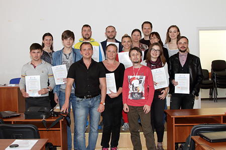
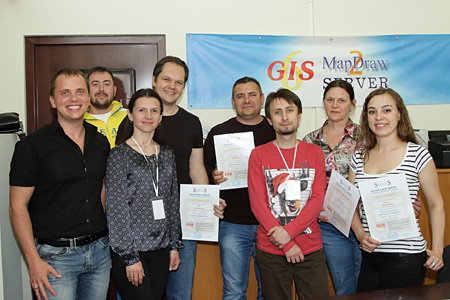
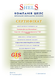
This is the ninth seminar for project organizations, which conducts ShelS Company. The main objective of these training-seminars - form practical skills program ГІС 6. The first day was devoted to reviewing the features of the program ГІС 6; imports measurements of GPS-eceivers and total stations; treatment measurements in the "Calculation and adjustment theodolite traverses and pickets"; creation of land; completing the data subjects rights, restrictions, easements, leases; general information about the exchange file format XML; import and export exchange files XML; setting and checking of export exchange files XML. On the second day of the seminar participants learned the general information about the window "Cameral function" and the mapping module "MapDraw 2“; discussed a very important topic «Projection USK-2000 and geodetic points», examined the transformation of coordinates from SK-63 in USK-2000 or MSK-2000 and from MSK-2000 in USK-2000. The third day was dedicated to the last innovations in legislation on monetary valuation, creation and editing reporting forms. According to the results of the training seminar, each participant received a nominal Certificate confirming the acquired knowledge.
ORGANIZATIONAL MATTERS
Date: 15-17 may 2017
Event venue: Ukraine, Kropyvnyckiy, st. Elvorti, 7, rm. 501 (Business center "Elvorti")
Terms: classes focus on hands-on learning work program GIS 6, therefore work more efficiently participants, it is desirable to take seminar-training notebook
The cost of participation:
At paid until 20.04.2017, one day of participation - 400 UAH for 1 person;
two days of participation - 700 UAH for 1 person; three days of participation - 900 UAH for 1 person.
If you pay from April 21 to May 13, 2017, one day of participation - 500 UAH for 1 person; two days of participation - 900 UAH for 1 person; three days of participation - 1200 UAH for 1 person.
The price includes: participation in training seminar, training materials, CD with training materials and Certificate
SEMINAR SCHEDULE
| 15.05.2017 | 17.05.2017 |
|---|---|
| 09:00-10:00 - arrival participants, registration, accommodation; | 10:00-18:00 - conducting a training seminar with a break; |
| 9:00-17:30 - holding training workshop with a break; | 17:30-18:00 - departure of participants. |
SEMINAR MATERIALS
PROGRAM SEMINAR
Day 1
1. Installing and updating the program GIS 6
2. Overview of the program GIS 6
3. Import measurements from GPS-receivers and total stations
4. Analysis of the measurements in the "Calculation and adjustment and theodolite traverses pickets"
5. Creating land plots
6. Complete data on the subjects of rights, restrictions, easements, rental
7. General information about the interchange file format XML
8. Import and export exchange files XML
9. Setting up the export and checking the filling of the plots before exporting
10. Electronic digital signature in exchange files XML
Day 2
1. Understanding the "Cameral function", work with layers and tools
2. The contour plot, plan and balance check areas
3. An inverse geodetic task or creation of a theodolite progress sheet without a real theodolite progress
4. Create subcontractors, customize the display picture
5. Creation of easements and restrictions (polygons with internal circuits)
6. Cuttings and pegs (loops) in contours or areas with third-party land uses
7. Discussion of the projection of USK-2000 and geodetic points
8. Translation of coordinates from SK-63 to USK-2000 or MSK-2000
9. Translation of coordinates from MSK-2000 to USK-2000
10. Introduction to the basics of mapping module "MapDraw 2"
11. Connecting Local layers and server space images GoogleMap and Public cadastral map
12. Connecting the coordinated rasters to the project and displaying the inner layers
13. Digitizing raster images, creating and filling vector objects
Day 3
1. Recent innovations in the legislation on monetary valuation (Order № 489 and Resolution № 831)
2. Preparation, import and processing of data for the calculation of monetary valuation
3. Calculation of the monetary valuation of plots in populated area
4. Calculation of the monetary valuation of plots outside the settlement of non-agricultural lands
5. Calculation of the monetary valuation of plots plots of agricultural lands
6. Administration of GIS 6 and setting of access rights
7. Creating backups and restoring databases
8. Connecting scanned materials and documents
9. Report forms using Word and OpenOffice
10. Opening and printing of reporting forms. Firmware editor
11. Acquaintance with the editor FastReport, change of formalization in reporting forms
12. Basics of programming reporting forms in FastReport and working with the database
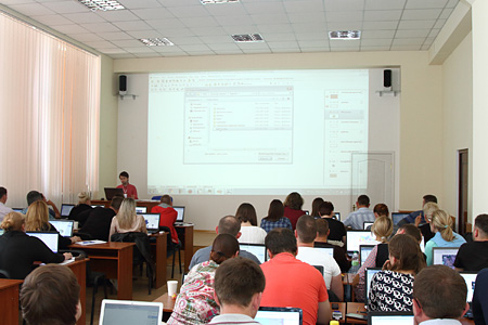
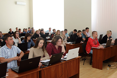
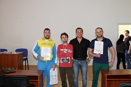
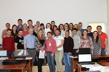
SEMINAR PHOTO MATERIALS