SEMINAR-TRAINING GEODETIC INFORMATION SYSTEM 6
3-4 november 2011
venue of Kropyvnytskyi, st. Ordzhonikidze, 7, rm. 501
(Business-Centre "Elvorti")
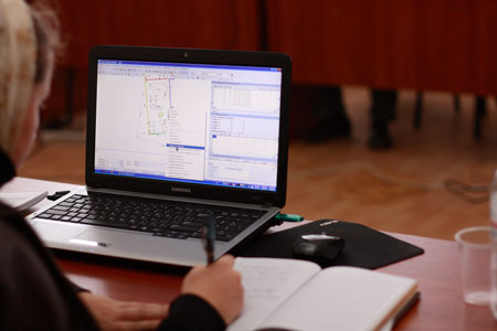
This is the sixth seminar which conducts Company SHELS. The main objective of these training-seminars - form practical skills program GIS 6. The first day was devoted to creation and checking file exchange cadastral and land information format XML, processing dimensions and design of land printing and editing reporting forms, regulatory monetary calculation assessment of land and arbitrary objects in the "Map" . On the second day of the seminar participants learned the basics of mapping module MapDraw 2, learned how to assign and replace field values for group of land, build and restore databases configure the network access. This workshop also addressed issues of association databases program GIS 6 and EJRC 2, as well as solutions and methods of access to information and databases through Internet. According to the results of the training seminar, each participant get exactly Certificate, confirming the acquired knowledge.


ORGANIZATIONAL MATTERS
Date: November 3-4, 2011.
Event venue: Ukraine, Kropyvnytskyi, st. Ordzhonikidze, 7, rm. 501 (Business center "Elvorti")
Terms: classes focus on hands-on learning work program GIS 6, therefore work more efficiently participants, it is desirable to take seminar-training notebook
The cost of participation: one day of participation - 500 UAH 1 participant, the participation of two days - 800 UAH for 1 participant. For the second and third members of the same organization discount - 5% and 7%, respectively.
The price includes: participation in training seminar, training materials, CD with training materials and Certificate
SEMINAR SCHEDULE
| 03.11.2011 | 04.11.2011 |
|---|---|
| 09:00-10:00 - arrival participants, registration; | 10:00-18:00 - holding training workshop with a break; |
| 9:00-17:30 - holding training workshop with a break; | 17:30-18:00 - leaving participants. |
SEMINAR MATERIALS
PROGRAM SEMINAR
Day 1
1. Setting and updating program GIS 6
2. Familiarization with layers and tools
3. Creation of land and plan
4. Creating a buffer zone for points, lines and polygons
5. Coordinate transformation of land and facilities
6. Verification of inventory information
7. Formation exchange file cadastral and land information in the format XML
8. Checking created exchange file format XML
9. Import exchange file format XML
10. Report forms printing and editing
11. Calculation of normative monetary evaluation
Day 2
1. Introduction to the basics of mapping module "MapDraw 2"
2. Coordination of bitmaps in the program
3. Connecting to server space images GoogleMap
4. Connection to the map server GisMapServer
5. Data filter, search and selection of information
6. Assigning and replacing field values for the selected land
7. Make copies and database recovery program GIS 6
8. Configuring the Network key and network database
9. Database administration and program GIS 6
10. Combining database program GIS 6 and EJRC 2
11. Access to the databases of the program GIS 6 by means of Internet
OTHER MATERIALS
SEMINAR PHOTO MATERIALS


