GEODESIC INFORMATION SYSTEM TRAINING SEMINAR 6
October 18-19, 2018
venue Kropyvnytskyi, str. Elworthy, 7, room 501
(Business center "Elworthy")
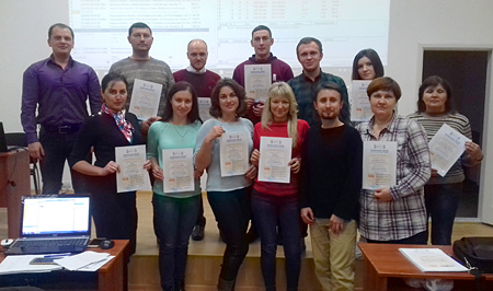
On October 18-19, 2018, representatives of 9 regions: Kyiv, Kirovohrad, Poltava, Kharkiv, Luhansk, Donetsk, Mykolaiv, Dnipropetrovsk and Odesa gathered in Kropyvnytskyi for a two-day training seminar under the Geodetic Information System 6 (GIS6) program, dedicated to the creation of an exchange file of land cadastral information in XML format, in accordance with Resolution No. 1115 dated 23.12.2015, Resolution of the Cabinet of Ministers No. 1051 dated 17.10.2012 and the requirements of the National Cadastre System (NCS ) when creating XML exchange file data, importing and calculating theodolite runs and pickets, creating land plots, restrictions and easements, transforming coordinate systems in USK-2000 and MSC-2000, connecting to the Public Cadastral Map of Ukraine and Google Maps.
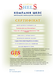
This is already the eleventh seminar for project organizations held by SHELS Company. The main feature these events provide an opportunity to practice skills in practice on work in the GIS 6 program, get answers to questions of interest and share experiences with colleagues. On the first day, the participants familiarized themselves with the possibilities of the GIS 6 program; general information about the "Land plots" and "Camera functions" windows; created land plots; filled in data on subjects of law, restrictions, easements, leases and technical documentation; performed import and export of exchange files in XML format. The second day was devoted to processing measurements in the window "Calculation and alignment of theodolite moves and pickets"; creation of adjacencies, servitudes; transfer of coordinates from SK-63 to USK-2000 or MSC-2000 and vice versa; work with layers; familiarization with the basics map module "MapDraw 2". According to the results of the training seminar, each participant received Name Certificate.
ORGANIZATIONAL ISSUES
Date: October 18-19, 2018
Venue: Ukraine, Kropyvnytskyi, str. Elworthy, 7, room 501, 5th floor (Elworthy Business Center)
Conditions of conduct: classes aimed at practicing the skills of working with the GIS program 6. Therefore, for more efficient work, you need to have a laptop with you.
Cost of participation:
When paying by September 30, 2018, one day of participation - UAH 700 per person; two days of participation — UAH 1,200 per person.
When paying from October 1 to October 12, one day of participation — UAH 900 per person; two days of participation — UAH 1,700 per person.
Included in the price: participation in the seminar, methodical materials, a CD with educational materials and a Certificate
REGULATIONS OF THE SEMINAR
| 18.10.2018 | 19.10.2018 |
|---|---|
| 09:00-10:00 - arrival, registration of participants; | 10:00-18:00 - conducting a training seminar with a break; |
| 9:00-17:30 - conducting a training seminar with a break; | 17:30-18:00 - departure of participants. |
WORKSHOP MATERIALS
SEMINAR PROGRAM
Day 1
1. Installation and update of the GIS 6
program
2. Overview of the capabilities of the GIS 6
program
3. General information about the "Land parcels" window, working with labels and filters
4. Import of measurements from GPS receivers and electronic total stations
5. Creation of land plots
6. Filling in data on subjects of law, restrictions, servitudes, lease and technical documentation
7. General information about the "Camera Features" window, working with layers and tools
8. Viewing areas on the map (map module "MapDraw 2")
9. General information about the exchange file in XML format
10. Import and export XML exchange files. Export settings and field completion check before export
Day 2
1. Creating a site outline, plan and checking the balance of areas
2. Processing of measurements in the window "Calculation and alignment of theodolite moves and pickets"
3. Reverse geodetic problem or creation of information of a theodolite course without a real theodolite course
4. Creating adjacencies, adjusting the image display
5. Creation of easements and restrictions (polygons with internal contours)
6. Cuts and bindings (loops) in contours or areas with third-party land uses
7. Discussion of USK-2000 projection and geodetic points
8. Transfer of coordinates from SK-63 to USK-2000 or MSC-2000 and vice versa. Using GISFile.com to transfer coordinates to USK-2000
9. Getting to know the basics of the map module "MapDraw 2"
10. Connection of local layers, servers of space images of GoogleMap and Public cadastral map. Layer parameters, display
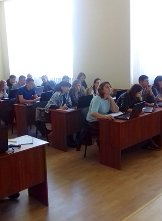
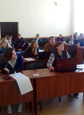
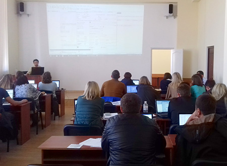
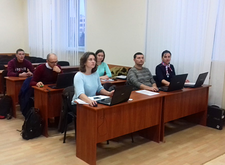
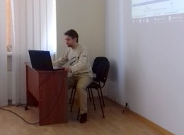
SEMINAR PHOTO MATERIALS